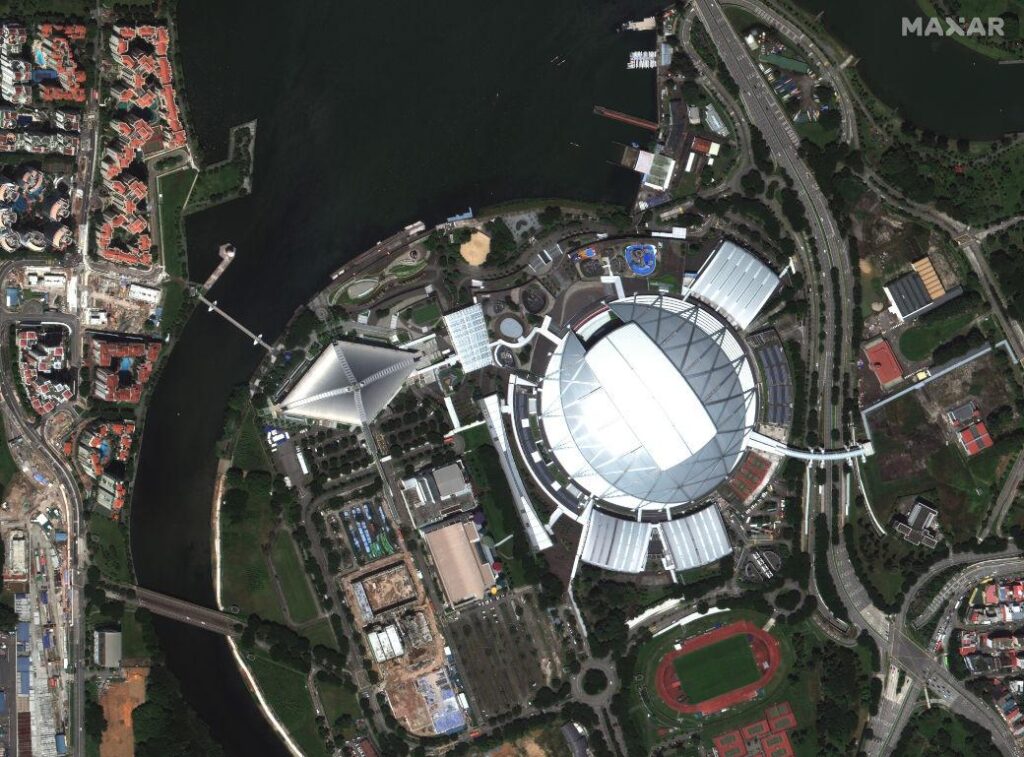
Satellites have become our eyes in the sky, capturing breathtaking imagery of the Earth and beyond. But have you ever stopped to wonder who is actually in control of these high-tech cameras floating in space? According to Maxar Technologies, the answer is increasingly becoming the realm of robots. In this article, we will explore the fascinating shift towards automation in satellite imaging and how it is revolutionizing the way we view our planet.
Navigational advancements in satellite imaging
Satellites have revolutionized the way we view and understand our planet, capturing detailed images from thousands of miles above the Earth’s surface. But who exactly controls where these satellites take pictures? According to Maxar Technologies, the answer is increasingly robots. These advanced robotic systems are becoming crucial in navigating satellites and ensuring they capture the most relevant and accurate images.
With the help of robots, satellite imaging companies like Maxar are able to enhance their navigational capabilities, ensuring that satellites are directed to the right locations at the right times. This technological advancement allows for more efficient data collection, better coverage of remote areas, and improved overall image quality. As robots continue to play a significant role in satellite navigation, we can expect even more precise and detailed images of our planet in the future.
Maxars innovative approach to satellite control
In the world of satellite control, Maxar is pushing the boundaries with their innovative approach. They are leading the way in utilizing robots to dictate where satellites should capture images. This shift towards automation is predicted to revolutionize the industry and provide more precise and efficient data collection.
With robots taking the reins, Maxar is able to optimize satellite operations in ways never seen before. By leveraging artificial intelligence and machine learning, these automated systems can make split-second decisions and adjustments to ensure that every picture taken is of the highest quality. This forward-thinking approach not only improves the accuracy of data collected but also streamlines the process, saving time and resources. Maxar’s cutting-edge technology is setting a new standard in satellite control, paving the way for a more sophisticated and dynamic future in space imaging.
The role of robotics in shaping the future of satellite photography
Maxar Technologies, a leader in Earth intelligence and space infrastructure, is revolutionizing the field of satellite photography with the implementation of robotics. Robots are increasingly playing a key role in determining where satellites should capture images, ensuring more efficient and accurate data collection. This advancement is reshaping the future of satellite photography by significantly improving the quality and scope of imagery that can be obtained.
By utilizing robots to direct satellite photography, Maxar is able to optimize the capture of high-resolution images of specific areas of interest. These robots can autonomously navigate the satellite’s movements, adjust camera angles, and prioritize image capture based on preset criteria. This level of automation not only streamlines the process of satellite data collection but also allows for quicker response times to changing conditions on the ground. the integration of robotics in satellite photography is opening up new possibilities for applications in fields such as agriculture, urban planning, environmental monitoring, and more.
Challenges and opportunities in autonomous satellite navigation
Maxar Technologies is revolutionizing the field of satellite navigation by developing autonomous robots that can control satellites and determine where they should take pictures. These robots are capable of analyzing data, making decisions, and executing commands without human intervention, leading to more efficient and accurate image collection.
Despite the incredible opportunities presented by autonomous satellite navigation, there are also several challenges that need to be addressed. Some of the key challenges in this field include ensuring the reliability and security of autonomous systems, managing the increasing complexity of satellite operations, and mitigating the potential risks associated with autonomous decision-making. However, with advancements in technology and innovation, the future of satellite navigation looks promising, with robots playing a vital role in guiding satellites to capture crucial data from space.
Closing Remarks
As the world of satellite imaging continues to evolve, the role of robots in directing where to take pictures is becoming more prominent. With the advancements in technology, Maxar is leading the way in utilizing robots to enhance the efficiency and precision of satellite photography. It is fascinating to see how artificial intelligence is being integrated into this process, opening up new possibilities for data collection and analysis. The future of satellite imaging is truly exciting, and we can’t wait to see what incredible images and insights robots will help us uncover next.


